Click on any picture to get it full-sized
(Best when used with an HTML 3.0 compliant browser)
For much better details, track down a copy of Gerry Roach's climbing guide. I've recently heard it may be out of print. More info on Gerry's great guide book are on the bottom of this page.
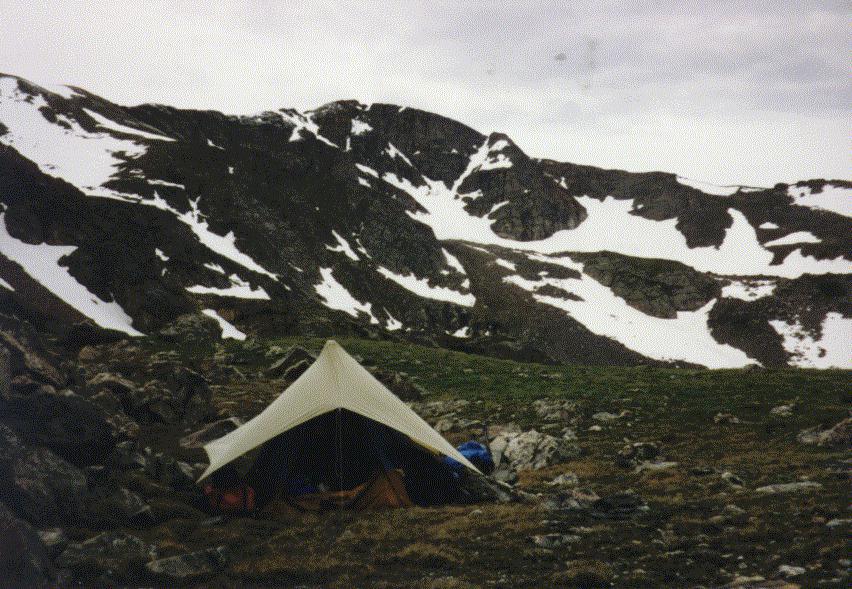
I personally consider a helmet, a good alpine ice ax, and crampons as necessary equipment for any of these climbs. Knowledge of how to self-arrest on steep snow is a requirement for any of these. A map and compass is a good idea too, along with proper clothing. Even during the summer monsoon season, most of these routes are doable before the rains and hail come if you get a 5-6am start.
South Arapaho Peak is usually reached by the 4th of July Trailhead by Buckingham Campground, out side of the town of Eldora. It's about a 2 mile hike into the basin at the bottom of South Face.
To see details of some of the routes on S. Arapaho, go here.
I recently (mid June, 2011) climbed South Arapaho, and took new pictures as
it was in excellent condition. Those are available here.
Mt Neva is usually reached by the 4th of July Trailhead by Buckingham Campground, outside of the town of Eldora. It's about another mile up the trail past South Arapaho. Hike to Arapaho Pass, and then head south toward Lake Dorthy.
To see details of some of the routes on Mt Neva, go here.
I recently (mid July, 2011) climbed Mt Neva, and took new pictures.
Those are available here.
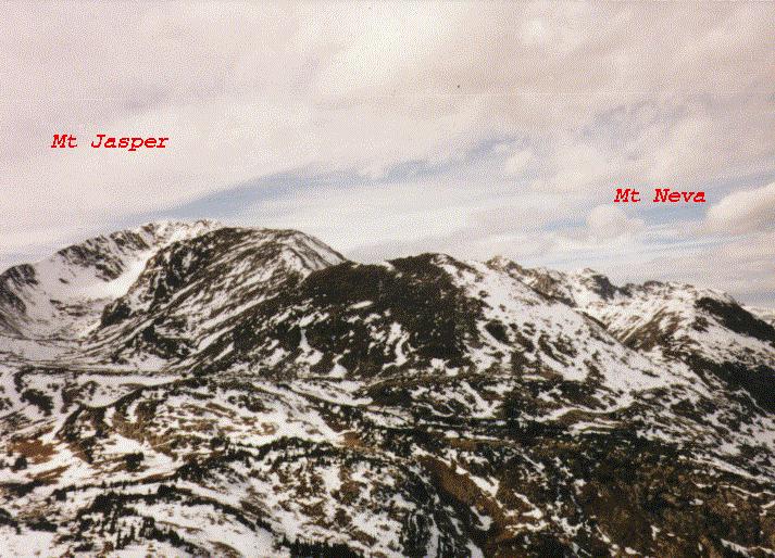
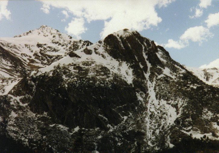
This is a view of Jasper Peak (on the left) and Mt Neva (on the right)
from a ridge up above and east of Diamond Lake.
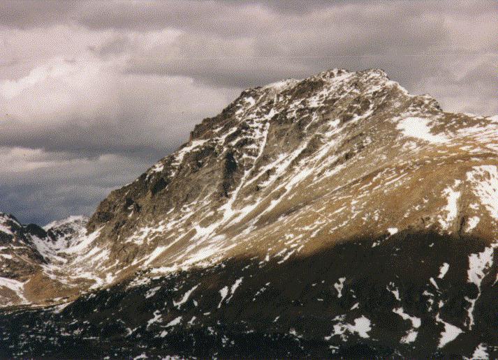
This a a view of Jasper Peak from across Upper Diamond Lake. The other Diamond Lake is just out of the picture on the lower right.
To see details of some of the routes on Mt Jasper, go here.
I recently (mid July, 2011) climbed Jasper Peak, and took new pictures.
Those are available here.
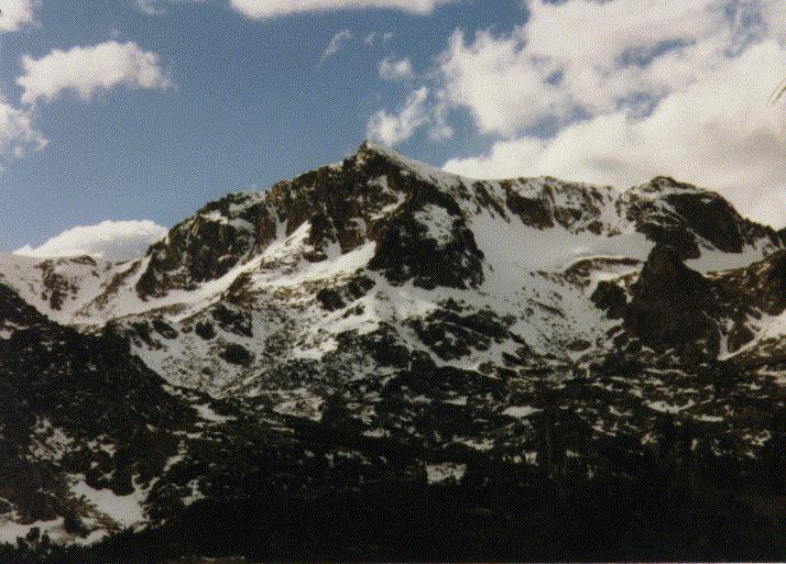
This is an unamed ridge that comes down off the Northeast side of Jasper. It's the obvious gully on the south side of the valley that you see hiking into Arapaho Pass.
To see details of some of the routes on this unnamed ridge, go here.
This peak is just south of the Wilderness Area, and accessible from the East Portal Trailhead by the Moffat Tunnel, or from the kingston Peak trailhead.
For a whole photographic trip report, go to this page.
To see details of some of the routes on James Peak, go here. I recently (late July, 2011) climbed
James Peak, and took new pictures. Those
are available here.
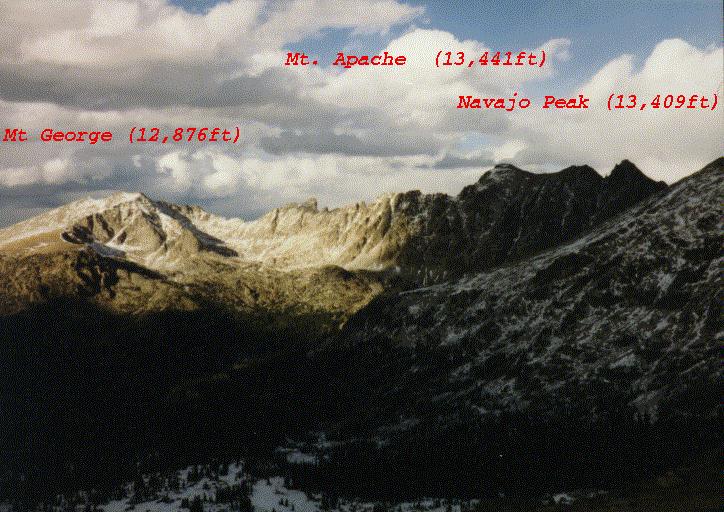
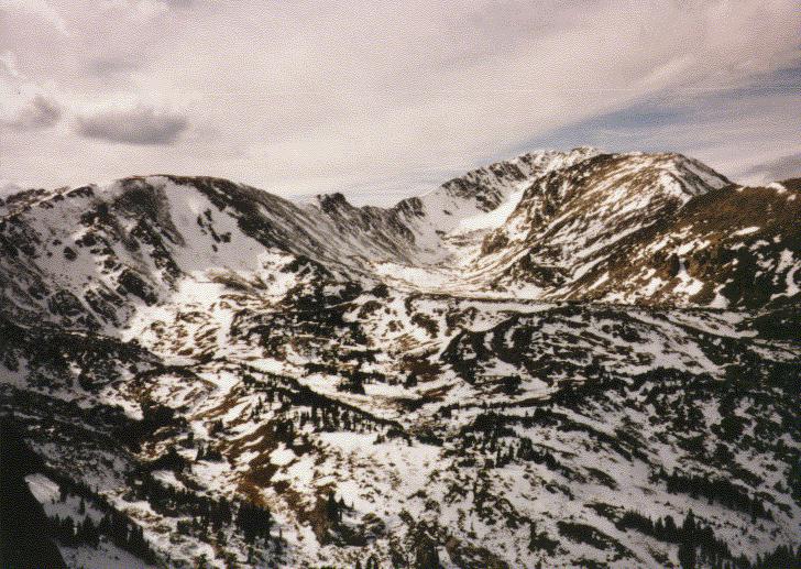
This is a view from Arapaho Pass (11,906ft) of the west side of
the Continental Divide looking across Wheeler Basin. In the distance
are Mt. George, Mt. Apache, and Mt. Navajo.
I got my copy of Gerry's guide at Neptune's Mountaineering in
Boulder. Also try Chessler Books in Evergreen for a copy. Here's the
ordering info:
Classic Hikes & Climbs
Gerry Roach
Fulcrum, Inc
Golden, CO
ISBN 1-55591-041-6
rob@welcomehome.org