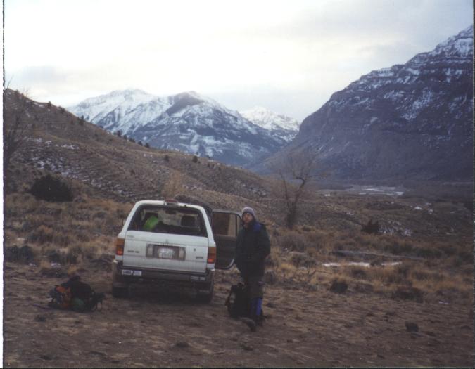
 Parked at the trailhead to hike into "Sheep Shank". This is looking
west through the South Fork Valley. This gives you an idea how dry the
are is.
Parked at the trailhead to hike into "Sheep Shank". This is looking
west through the South Fork Valley. This gives you an idea how dry the
are is.Click on any picture to get it full-sized
(Best when used with an HTML 3.0 compliant browser)
On the drive back, we stopped in Thermopolis, to spend alittle time at the hot springs. After so many trips to Ouray, CO and it's easily accessible hot springs, we needed to soak at least once this trip.
Parked at the trailhead to hike into "Sheep Shank". This is looking
west through the South Fork Valley. This gives you an idea how dry the
are is.
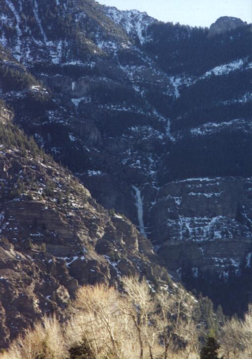
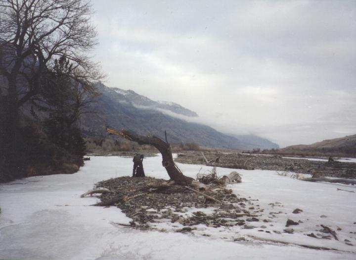 This is looking east down the Shoshone River. Most of the climbing is
on both sides of the valley in this view.
This is looking east down the Shoshone River. Most of the climbing is
on both sides of the valley in this view.
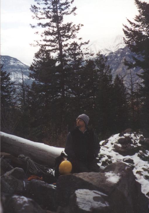 Scott taking a break on the hike into "Bozo's Revenge". This was the
last flat spot before starting the approach up the frozen creek
bank.
Scott taking a break on the hike into "Bozo's Revenge". This was the
last flat spot before starting the approach up the frozen creek
bank.
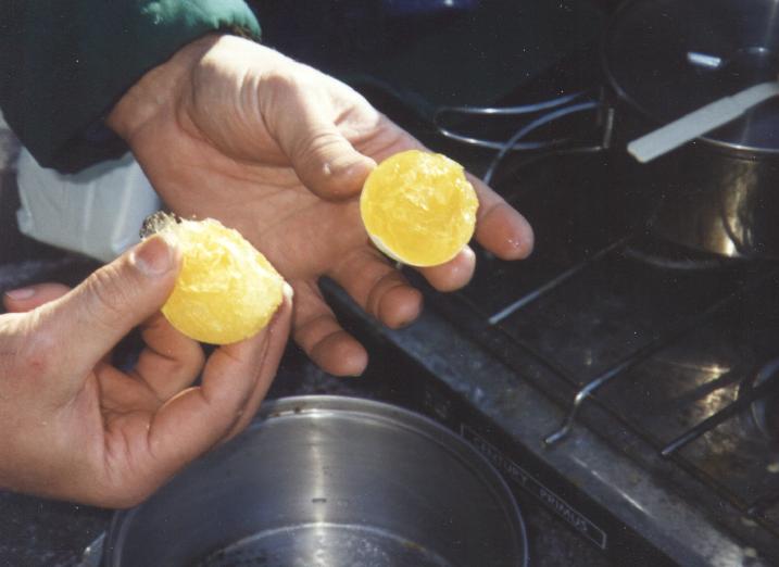 Ah, camping in sub-zero weather. We kept these eggs in down booties,
or our sleeping bag, but the eggs froze anyway... Luckily they seemed
to work in the potato pancakes anyway. Whew!
Ah, camping in sub-zero weather. We kept these eggs in down booties,
or our sleeping bag, but the eggs froze anyway... Luckily they seemed
to work in the potato pancakes anyway. Whew!
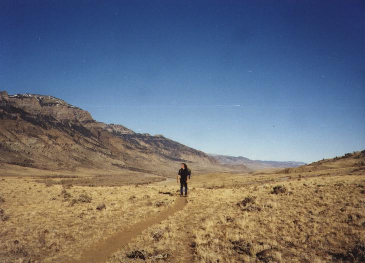 Scott hiking into "Sheep Shank". Another picture that shows how dry
this part of the country is.
Scott hiking into "Sheep Shank". Another picture that shows how dry
this part of the country is.
 This is a view across the South Fork Vally. You can see "Mean Green"
(I think) in the distance on the north facing side of the Valley.
This is a view across the South Fork Vally. You can see "Mean Green"
(I think) in the distance on the north facing side of the Valley.
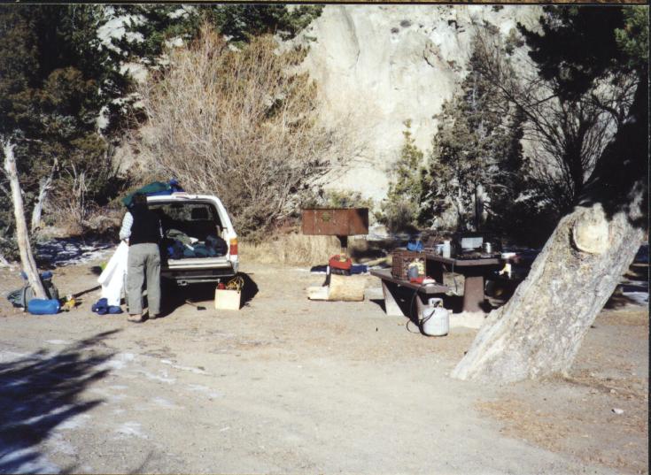 We mostly stayed in Deer Creek Campground, because it was free, and
pretty close to most of the climbing. I had a free 4 nights stay at
Bison Willy's Bunkhouse, so we
also tried that for two night.
We mostly stayed in Deer Creek Campground, because it was free, and
pretty close to most of the climbing. I had a free 4 nights stay at
Bison Willy's Bunkhouse, so we
also tried that for two night.
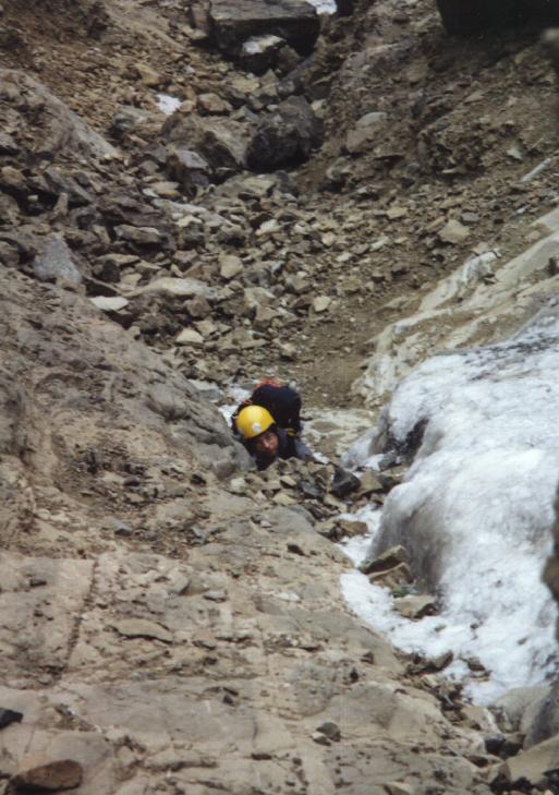 The approaches up over 100 feet of partly frozen creek beds were
almost worse than any of the climbing. This is about 2/3 of the way
up the approach for Triptych. The climbing when we got to it was thin
and nasty. We'd guess the parts we did went at about WI4,M7.
The approaches up over 100 feet of partly frozen creek beds were
almost worse than any of the climbing. This is about 2/3 of the way
up the approach for Triptych. The climbing when we got to it was thin
and nasty. We'd guess the parts we did went at about WI4,M7.
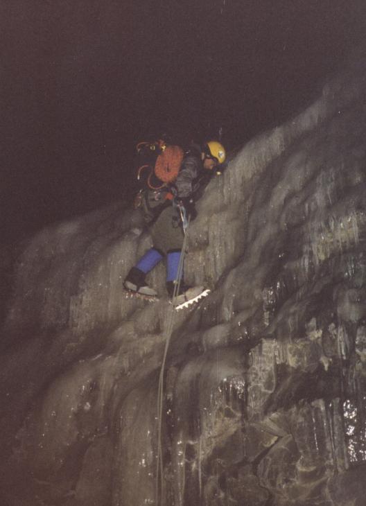 With long, slow approaches, most of our decents were in the dark, or
close to it. Here's Scott rappeling a steep stretch of Triptych, after
we were forced to downclimb and rappel it due to lack of ice.
With long, slow approaches, most of our decents were in the dark, or
close to it. Here's Scott rappeling a steep stretch of Triptych, after
we were forced to downclimb and rappel it due to lack of ice.
 After scrambling up way too much barely frozen creek bed, we got to this nasty
pitch.
After scrambling up way too much barely frozen creek bed, we got to this nasty
pitch.
 Most of the ice was rotten, the the rock was loose. As you can tell, much
of the ice barely survived me climbing it.
Most of the ice was rotten, the the rock was loose. As you can tell, much
of the ice barely survived me climbing it.
 The first decent stance. The only pro for this entire pitch was tied off
ice screws and one expanding flake. Not good...
The first decent stance. The only pro for this entire pitch was tied off
ice screws and one expanding flake. Not good...
 This is "High On Boulder", near the west end of the South Fork
Vally.
This is "High On Boulder", near the west end of the South Fork
Vally.